Our
Project
- Real-World Impact Through Smart GIS Applications
Some of Our Featured Through GIS-Based Projects
We’ve successfully delivered a range of GIS projects across various sectors, each tailored to meet specific client needs. Our work reflects our commitment to precision, innovation, and results in every spatial solution we provide.
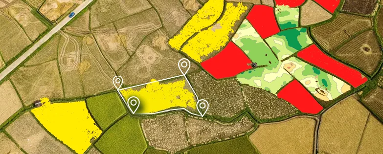
Agricultural Land Assessment
Used satellite data to analyze soil quality, crop health, and land suitability for optimized farming.

Urban Infrastructure Mapping
Created detailed city maps to assist in planning utilities, road networks, and smart city development.

Advanced Disaster Risk Mapping
Created hazard maps for floods and earthquakes to aid emergency planning.
Environmental Impact Studies
Mapped ecological zones to assess sustainability for development projects.